Proserpina dam
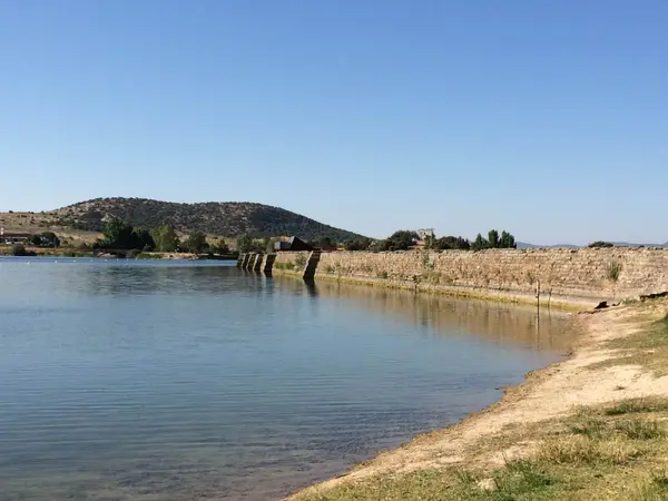
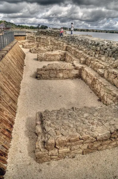
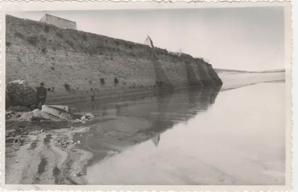
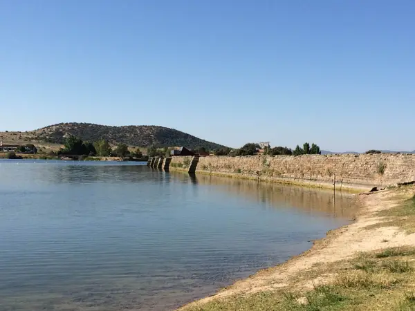
The Proserpina dam, of Roman origin, some 5 km north of Mérida (Augusta Emerita), at the foot of the Sierra de Carija. It collects water from the Las Adelfas and Las Pardillas streams. Probably begun in the 1st century BC (a first dam wall of about 6 m), with a major enlargement in the 2nd century AD and medieval and early modern alterations (17th century): it shows several building phases.
- Type
- Presa/embalse romano
- Preservation
- Standing
- Protection
- Listed · RI-51-0000114
- Listed
- 13/12/1912
- Coordinates
- 38.96972, -6.36639
- Photographs
- 9
What it is and what is left
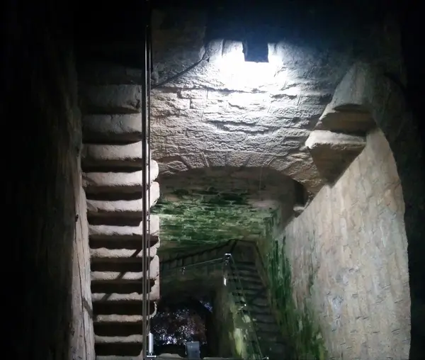
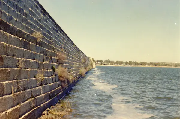
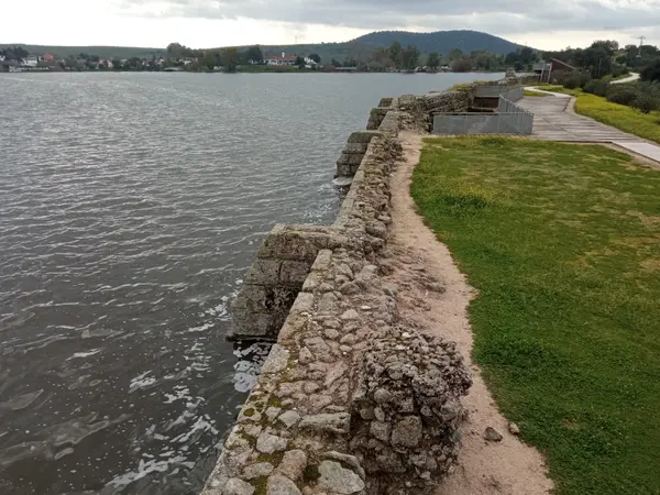
The dam wall is some 427.8 m long and 21.6 m high at most above its foundations. It is an earth dam with an impermeable face: upstream, a stepped slope of granite ashlar reinforced by nine buttresses; on the other side, a great earthen bank. On the downstream face, two intake towers. Estimated capacity 4–6.5 hm³, with a water surface of about 70 ha.
Traditionally taken as the head of the water supply to Augusta Emerita by way of the Los Milagros aqueduct, although recent research (S. Feijóo) questions that Roman origin and points to a role in irrigation. In use and in good condition. National monument (1912, listed as RI-51-0000114); World Heritage (UNESCO, 1993).
What each period left here
It reads downwards: each band is a period with fabric in this site, newest first, deepest last.
5 facts
8 photographs
Roman
This site has fabric from this period. Mérida has 57 more sites built in the same layer.
See the whole layer →The reservoir is called Proserpina after a curse tablet found nearby: a woman called on the goddess Ataecina Turibrigensis Proserpina to punish the thief who took her clothes, and left the list written out — six tunics, two linen garments and one undergarment.
DEpHis (UC3M) — Dedicatoria a Dea Ataecina Turibrigensis ProserpinaThe tablet is also unusual for its material: almost all Roman defixiones were engraved on lead, and this one was made in marble.
Celtiberia.net — Lápida de ProserpinaBefore the inscription the place was called «Charca de la Albuera» or «Albuhera de Carija»: the classical name is late, from the 18th century, when the tablet turned up.
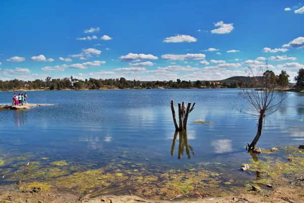
Embalse de Proserpina — WikipediaIt is still working two thousand years on: the reservoir is used for irrigation and is one of the most popular bathing spots in Extremadura, with beach bars and a 6 km path around it.
Embalse de Proserpina — WikipediaWhether the dam is Roman is disputed: the 1992 excavation produced 1st- and 2nd-century material, but it has been objected that the lowest stretch, the one that might be Roman, does not reach the height of the aqueduct intake. The work you see has phases from late antiquity to the early modern period.
Embalse de Proserpina — Wikipedia
Below the deepest layer of each site is the ground itself: what has not been excavated yet, or what left nothing built. The catalogue only claims what is documented.
A short walk from here
Straight-line distances, worked out from the coordinates of each site.
Where this page comes from
- Aranda, Sánchez et al. — Las presas de abastecimiento: Proserpina y Cornalvo (Memoria 2003 nº9) [PDF] biblioteca.consorciomerida.org
- Embalse de Proserpina — Consorcio de Mérida consorciomerida.org