Decumanus Maximus
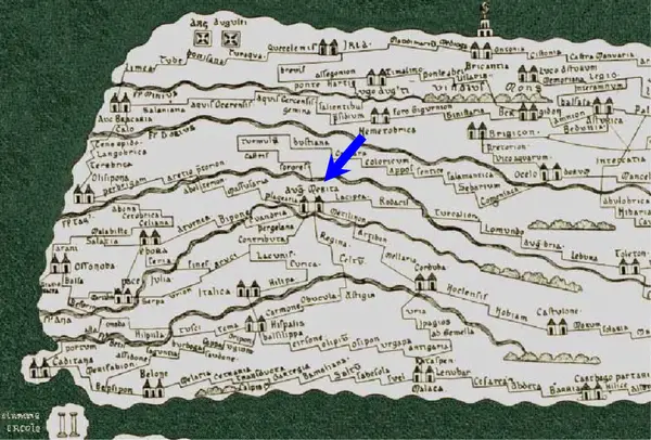
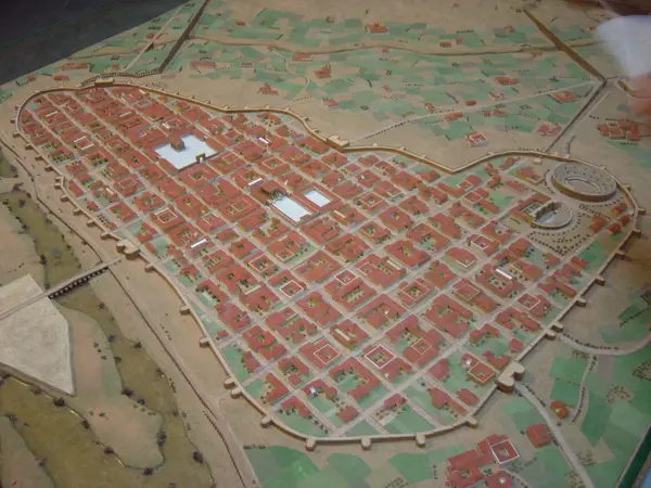
The Decumanus Maximus was the main east–west street of the Roman colony of Augusta Emerita (founded in 25 BC). Together with the Cardo Maximus it formed the backbone of the city's grid. It ran from the gate onto the Roman bridge over the Guadiana, crossed the city from west to east, and is traced by today's calles del Puente, Cava and Santa Eulalia. Where the Decumanus and the Cardo crossed stood the colonial forum, beside what is now the Temple of Diana.
- Type
- Roman road
- Preservation
- Foundations
- Protection
- Listed · RI-53-0000148
- Listed
- 08/02/1973
- Coordinates
- 38.91780, -6.34321
- Photographs
- 2
What it is and what is left
The street was more than six metres wide to allow carts to pass in both directions. Through the 1st and 2nd centuries AD its pavements were porticoed to shelter passers-by. Original paving of diorite and quartzite slabs has been recorded, along with remains of the side porticoes.
A visible stretch survives on calle Santa Eulalia, next to the Puerta de la Villa, inside the Sala Decumanus (c/ Santa Eulalia, 1), a cultural space fitted out by the Consorcio de la Ciudad Monumental in 2009 on the plot excavated in the 1980s. Other stretches can be seen at the Morerías archaeological site and around the National Museum of Roman Art. The rest of the street runs beneath today's pedestrian street as far as the Roman bridge.
What each period left here
It reads downwards: each band is a period with fabric in this site, newest first, deepest last.
0 facts
2 photographs
Roman
This site has fabric from this period. Mérida has 57 more sites built in the same layer.
See the whole layer →
Below the deepest layer of each site is the ground itself: what has not been excavated yet, or what left nothing built. The catalogue only claims what is documented.
A short walk from here
Straight-line distances, worked out from the coordinates of each site.
Where this page comes from
- Decumanus Maximus | Consorcio Ciudad Monumental de Mérida consorciomerida.org
- Sala Decumanus | Consorcio Ciudad Monumental de Mérida consorciomerida.org