Roman dam of Cornalvo
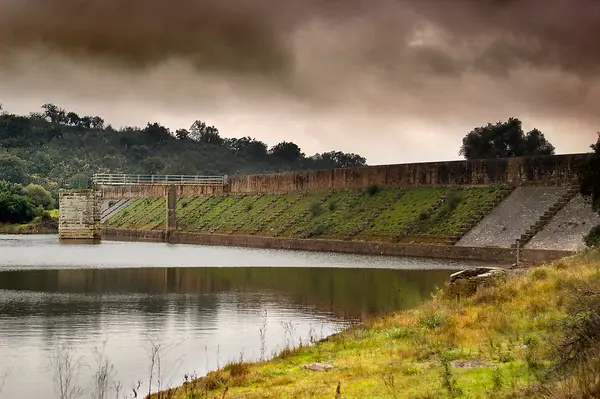
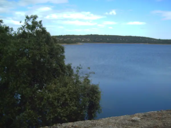
The Cornalvo dam is a great hydraulic work built to supply water to the Roman colony of Augusta Emerita, capital of the province of Lusitania. It lies some 17 km north-east of Mérida, inside the Cornalvo Natural Park, closing off the Albarregas stream, a tributary of the Aljucén.
- Type
- Presa / embalse romano
- Preservation
- Standing
- Protection
- Listed · RI-51-0000115
- Listed
- 13/12/1912
- Coordinates
- 38.98857, -6.19116
- Photographs
- 8
What it is and what is left
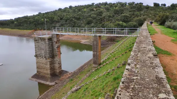
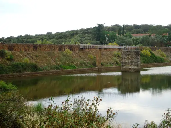
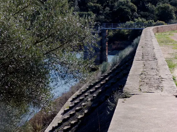
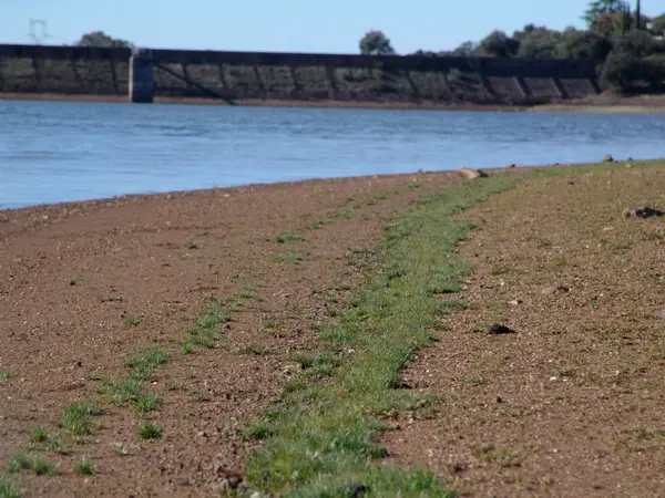
The main dam wall is roughly 220 metres long and 18 metres high, with the inner face built as a stepped slope. It is made of large granite ashlars reinforced with lime mortar, rounded pebbles and rammed red clay. In front of the wall stands the Roman intake tower (the regulating tower), originally linked to the dam by a stone bridge, which allowed the flow towards the aqueduct to be controlled.
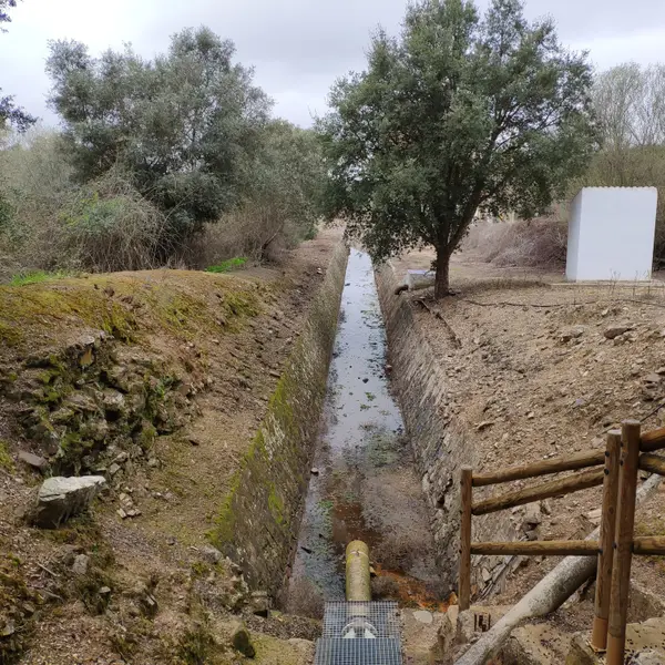
The associated conduit (the Cornalvo aqueduct, or Aqua Augusta) carried the water to the city through a channel (specus) 70 cm wide, lined with opus signinum, with a documented length of at least 70 km according to recent LiDAR survey.
The date of construction is disputed. The traditional proposal places it around AD 130, under Trajan or Hadrian; more recent evidence brings it forward to the 1st century AD, possibly the reign of Tiberius. And there is a more far-reaching idea: the archaeologist Santiago Feijóo (Consorcio de Mérida) proposes that the present dam wall may be Visigothic or Islamic, raised over the Roman aqueduct or after it had been abandoned.
It was declared a national monument in 1912 and is part of the Archaeological Ensemble of Mérida (World Heritage, UNESCO, 1993). It is still in use as a reservoir.
What each period left here
It reads downwards: each band is a period with fabric in this site, newest first, deepest last.
5 facts
8 photographs
Roman
This site has fabric from this period. Mérida has 57 more sites built in the same layer.
See the whole layer →It is the oldest dam still in service in Europe: almost two thousand years on it is still working, today supplying four municipalities in the area.
Extremadura: caminos de culturaThe place name comes from the Latin «cornu album», white horn, for the shape of the reservoir and the colour its water takes.
Extremadura: caminos de culturaA good part of what you see is not Roman: the granite ashlars that faced the dam were reused over centuries in local building, and the present face dates from the 1926 rebuilding. The intake tower, by contrast, keeps its original facing of rusticated ashlar.
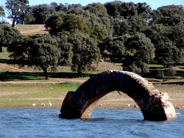
Extremadura: caminos de culturaThe intake tower is not attached to the dam: it stands apart, and the Roman arch that joined the two has been replaced by a metal walkway.
Extremadura: caminos de cultura — La torre de tomaThe area around the dam was declared the Cornalvo Natural Park in 1988: the Roman reservoir is now the heart of a protected area.
Viajar por Extremadura — Parque Natural de Cornalvo
Below the deepest layer of each site is the ground itself: what has not been excavated yet, or what left nothing built. The catalogue only claims what is documented.
A short walk from here
Straight-line distances, worked out from the coordinates of each site.
Where this page comes from
- Consorcio Ciudad Monumental de Mérida — Embalse de Cornalvo consorciomerida.org
- Wikipedia — Embalse de Cornalvo es.wikipedia.org
- Pleiades — Cornalvo Roman Dam and Aqueduct (place record) pleiades.stoa.org